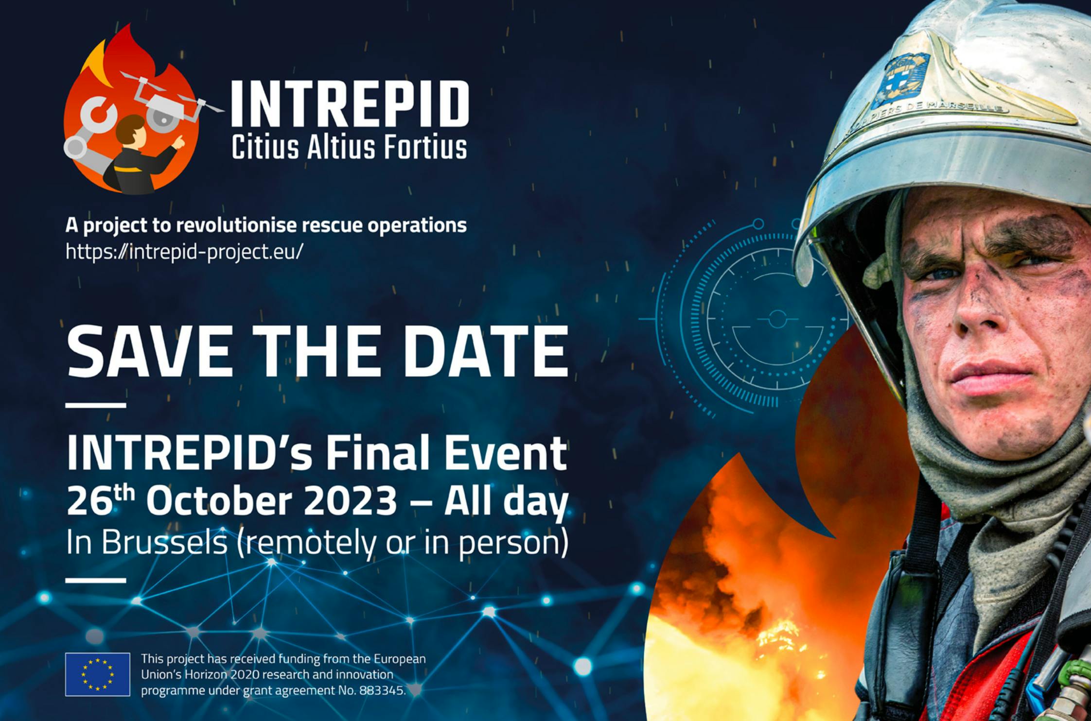


INTREPID, a project to revolutionise rescue operations
INTREPID, (INtelligent Toolkit for Reconnaissance and assessmEnt in Perilous InciDents) is a 3-year-long EU-funded project that aims to help first responders deal with the challenges they face when they arrive at the scene of a hazardous incident, providing a platform, drones, and robots, that will improve the 3D exploration and analysis of disaster areas.
INTREPID
toolkit in action
Unmanned Aerial Vehicles
There are two types of UAVs. The first one is tailored for the fast exploration of large non heavily obstructed areas, whereas the second is tailored for exploring cluttered multi-floor indoor environments, even using elevators or switching lights. Both UAVs are design to absorb hard shocks, evolve in populated areas and avoid injuries in case of a crash thanks to foam made frames. They carry different types of sensors.
Unmanned Ground Vehicles
This smart vehicle has a 7-degrees-of-freedom arm including a 3-finger gripper tailored to open doors, switch lights on/off, control elevators and place equipment in the field. It is also composed of four foldable 5DoF robotised legs on wheels, to enable him to roll, walk, crawl, as well as climb stairs and obstacles. With a 10-hour autonomy, it is also extended to place network equipment in the field, to carry one or several INTREPID UAVs, and to offer them a charging dock where they can land. The UGV carries different sensors used to assess the situation such as lasers, cameras, CBRN sensors.
Tactical communication system
This system enables the rapid deployment of high-bandwidth networking capabilities to offer robust, resilient, and secured interconnection of all units, including first-responders, cyber-assistants, and command centers.
Symbiotic control
This technology enables smart collaboration between the unmanned vehicles on the field. It uses rule-based system defining collaborative tasks, such as the opening of a door by a UGV to facilitate a UAV's passage to the next room. Moreover, combining the path planning results with the abilities of each Unmanned vehicles (rolling or flying) enables to provide faster and more accurate scanning of the area.
Mobile system: Doctrine model/authoring tool
The INTREPID Mobile System (INMOS) is the central system running on rugged laptops, tablets or smartphones. It integrates a doctrine model to store the knowledge, guidelines, and recommended courses of action, and provide a visual authoring tool for the rapid creation of doctrine models by simply assembling building blocks such as conditions and actions (e.g. raise alert, send UAV, inform team). These technologies “amplify” the collective intelligence of first responders to optimise the exploration of a site and the assessment of a situation.
Environment mapping – Digital mock-up/XR reality
INTREPID technology enables automatic real-time 3D mapping of inner and outer spaces and the alignment of the produced model with existing reference geospatial datasets such as BIM models or cadastral information
Real-time positioning – Path planning
This technology makes it possible to determine in real time the position of first responders, cyber-assistants, victims and other elements in the area of the incident. It also provides navigation assistance to first responders and cyber-assistants to reach or exit an area
Environment assessment
This module will be responsible for sense making of the data captured in the field for this purpose, it will be in charge of aggregating and fusing all collected information captured by the sensors or received by the INMOS from other users or from the UxVs’ own assessment module
Would you like to know more about INTREPID?
INTREPID project aims to make rescue operations safer, faster and more efficient.
Thanks to robots, drones and the latest technological advances, this European project develops an interface to improve and accelerate the exploration and assessment of disaster areas.
To do so, a whole consortium of 15 European partners, with complementary expertise, work together to develop and improve this platform.
All the news
from INTREPID

INTREPID Final Event
INTREPID celebrates the end of 3 years of the project, end of October.
Learn more


